


3.7 km | 10.7 km-effort

User


FREE GPS app for hiking
 SityTrail
IGN / Geographical institutes
SityTrail World
The world is yours!
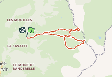
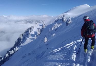
Trail Touring skiing of 9.1 km to be discovered at Auvergne-Rhône-Alpes, Upper Savoy, Le Bouchet-Mont-Charvin. This trail is proposed by nadd73.
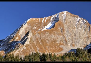
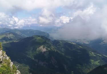
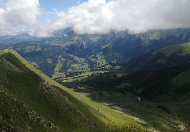
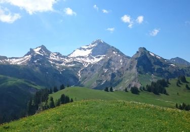
La Savatte. Petit tricotage avec le Mont Charvin qui domine, la Tournette en face. derrière la rouelle, la Gouenne, la tête de l'Aulp, la Mandalla et l'Etale.


Walking
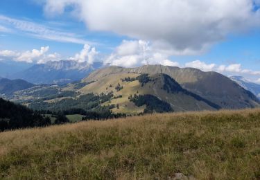
Walking
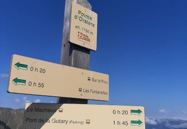
Walking
Walking
Walking
Walking
Walking
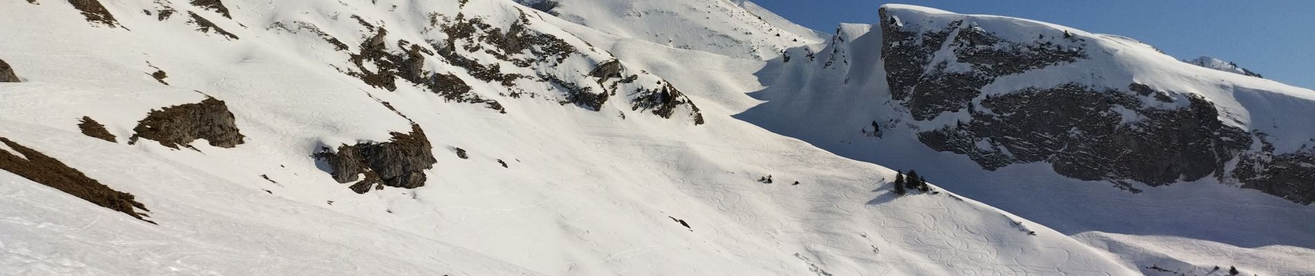
Touring skiing
Walking